The Mapimation project was the precursor to Segue City One; here I explored global transportation networks. The map overlaps the world’s largest cities, ports, airports, and rail and road networks to find areas of intense overlap of the world’s largest transportation networks. These areas are crucial as distribution hubs in the global economy. However, the cities that act as major player in global trade, unsightly ports, noisy airports, and disruptive road and rail networks lower the living quality of these cities. Segue cities are meant to be new developments at the crossing of major transportation systems. The segue city acts as a mega hub for all passenger and cargo traffic entering the region it serves. For example, here Segue City One serves most of
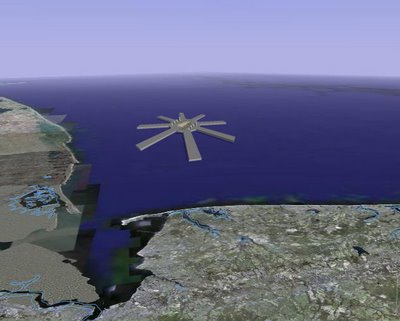
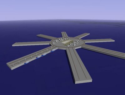
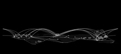
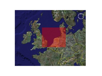
Segue City One is located in the North Sea, it lies central to some of the main cities it supplies such as London, Amsterdam, Rotterdam, Copenhagen, Hamburg, Paris and others. The city is constructed as a collage of the areas it serves. Five main elements create Segues City One, those being: 1) the city itself, 2) the green spaces, 3) the airports 4) the seaports and 5) the rail and road circulation network.
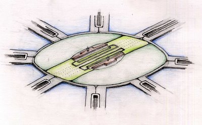
This brings us to the green spaces. A ring of green grounds foreseen to have a park like atmosphere surrounds the perimeter of the city. All of the industrial operations, the ports and airports are located outside of this “green ring” and are thus screened from the city itself. A bay has been left in the center of the city to give occupants a comfortable waterfront to enjoy seeing as the border with the ocean on the perimeter of the city is surrounded by the transportation networks.
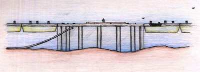
The transportation network consists of a central loop from which arteries branch down the length of each port. These arteries support both rail lines and roads which carry goods to and from ships in the ports. The network is then connected to the mainland of
The ports are a collection of Western Europe’s largest ports; that is the ports in
The following link will lead you to an earlier study massing model which has a similar effect to the final project: Segue Interactive Model
Below is my PowerPoint presentation, to be replace by images later.
Global Transportation Networks
European Network Collisions
New European Road Map
North Sea Location
Veiw from Space
Component Collage
London/Paris Collision
City Block Figure Ground
"Green Ring"
Airports
Seaports
View over Segue City One Bay
View Down Rotterdam Port
View Along Inner Bay


