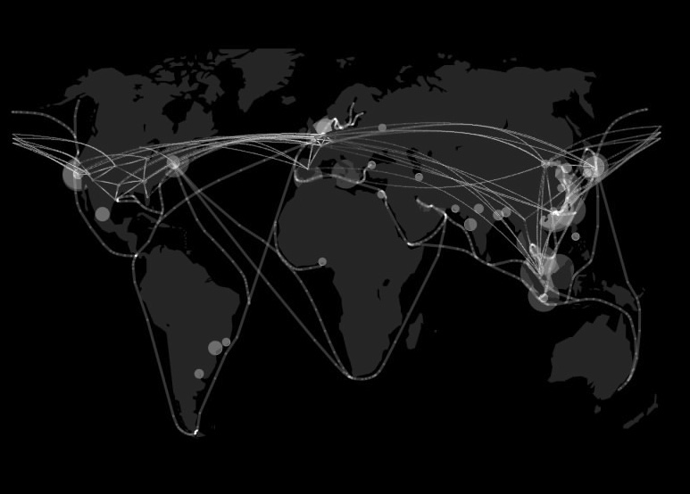
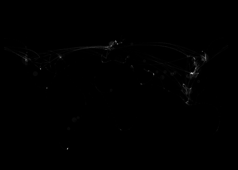
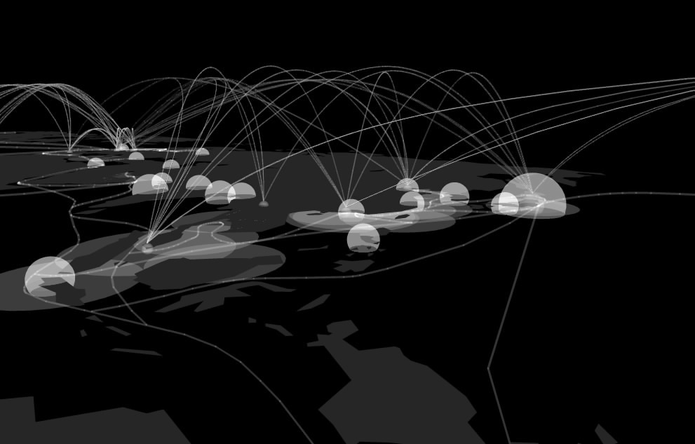
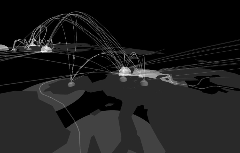
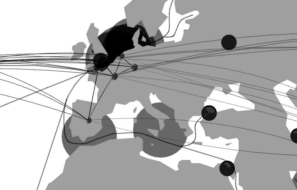
Here are some of the latest images of my FormZ mapping. the lines shown represent the main sea lanes and air routes connecting the "mega" ports and airports of the world. The ports are marked by flat circular areas corresponding to the size of the ports. Airports are marked by circular domes, size also corresponding to the size of the airport. And finally, all of the mega cities of the world are also marked with white spheres. The layering of this information reveals areas in the of intense white which are areas that are extremely developed as far as their global modes of transportation and ties to the rest of the world. These are areas that could be considered for the construction of Segue Cities. Still to come on the map is the plotting of major railroads and interstates around the globe (hope). Any suggestions?
No comments:
Post a Comment