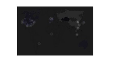
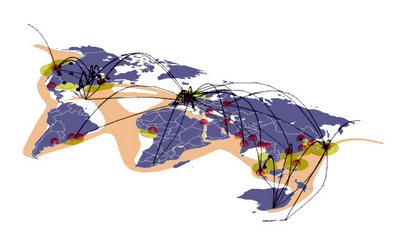
After last week's review I have refocused my mapping to incorporate more than just the plotting of air traffic data. I have chosen to attempt mapping all of the major networks of transportation for people and goods including major air routes, shipping routes, interstate networks, and railway networks. These systems will be mapped over a plotting of the world's mega cities (that is any city with more that 10 million inhabitants); the idea is that when all of these layers of information are superimposed over one another, the map will reveal the most important "Segue Cities" of the world, that is to say, the cities which most control the movement of people and goods around the globe and in many ways, control a large factor of the global economy and the conditions many people around the world face.
I hope that these Segue Cities can become sites for a new system of global interaction. I suspect that many of these cities will encounter similar problems of population growth, unsightly conditions around the port areas, and a general confusion and inefficiency of distribution of people and goods. I plan to analyze the largest Segue Cities an pose a plan for the construction of an off coast island which could perhaps serve an of shore port/airport for a more efficient distribution of cargo and passenger traffic.
One very interesting corner is the North Sea. London and Paris are two mega cities which depend on a large import export business; the London, Paris, and Amsterdam airports are among the worlds largest, four of the world's largest ports are located here and finally, all of the countries in this general area contain strong rail and interstate networks. As the population continues to grow and more pressures are felt of the expansion of airports and ports what could a solution be to make the transport of goods and passengers in and out of the area more efficient. Inspired by an earlier case study on Kansai International Airport in Osaka, I began to wonder if it would be possible to build an island in the North Sea which would serve as a major airport and seaport to receive and send northern Europe's goods and passengers throughout the rest of the globe. A chunnel type system could allow interstate highways and trains to access the island working with the seaport and airport.
Thus, I hope that the map will reveal some of the world's most important Segue Cities; the cities that ship and distribute most of the world's goods.
This excel spread sheet is a quick matrix of what the map will try to show graphically. The following are two images from an early attempt at the new mapping:
Subscribe to:
Post Comments (Atom)


No comments:
Post a Comment